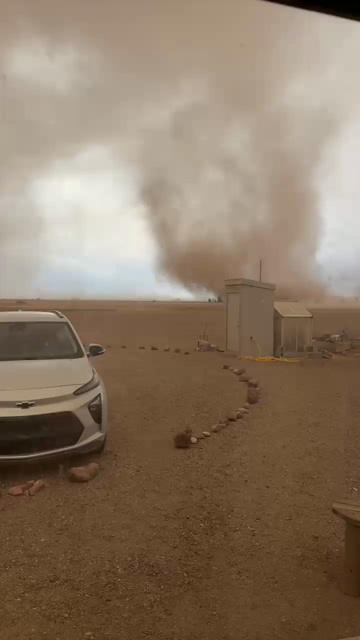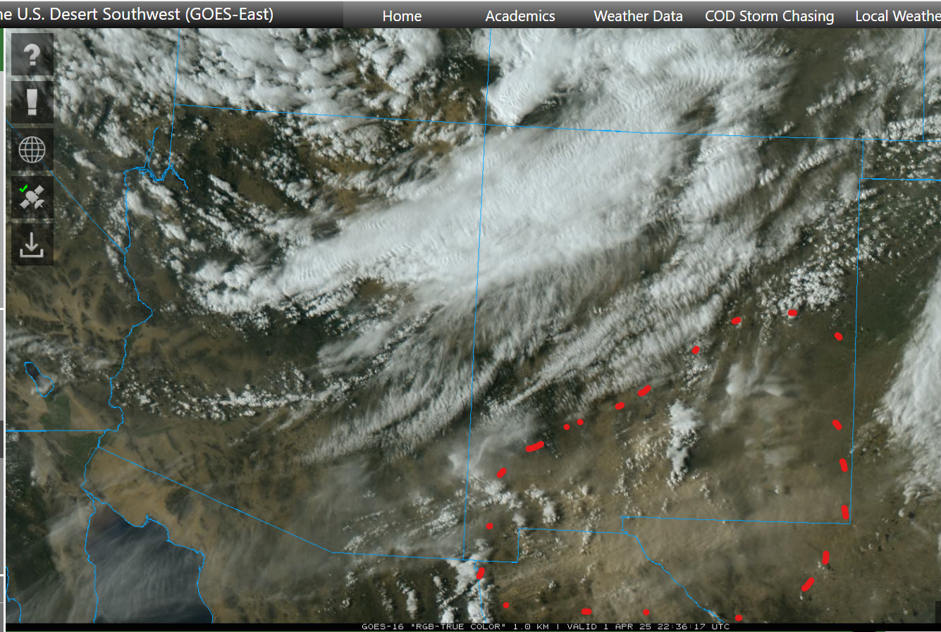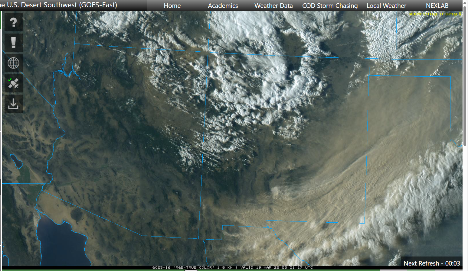


It was a dynamic weather day in New Mexico.
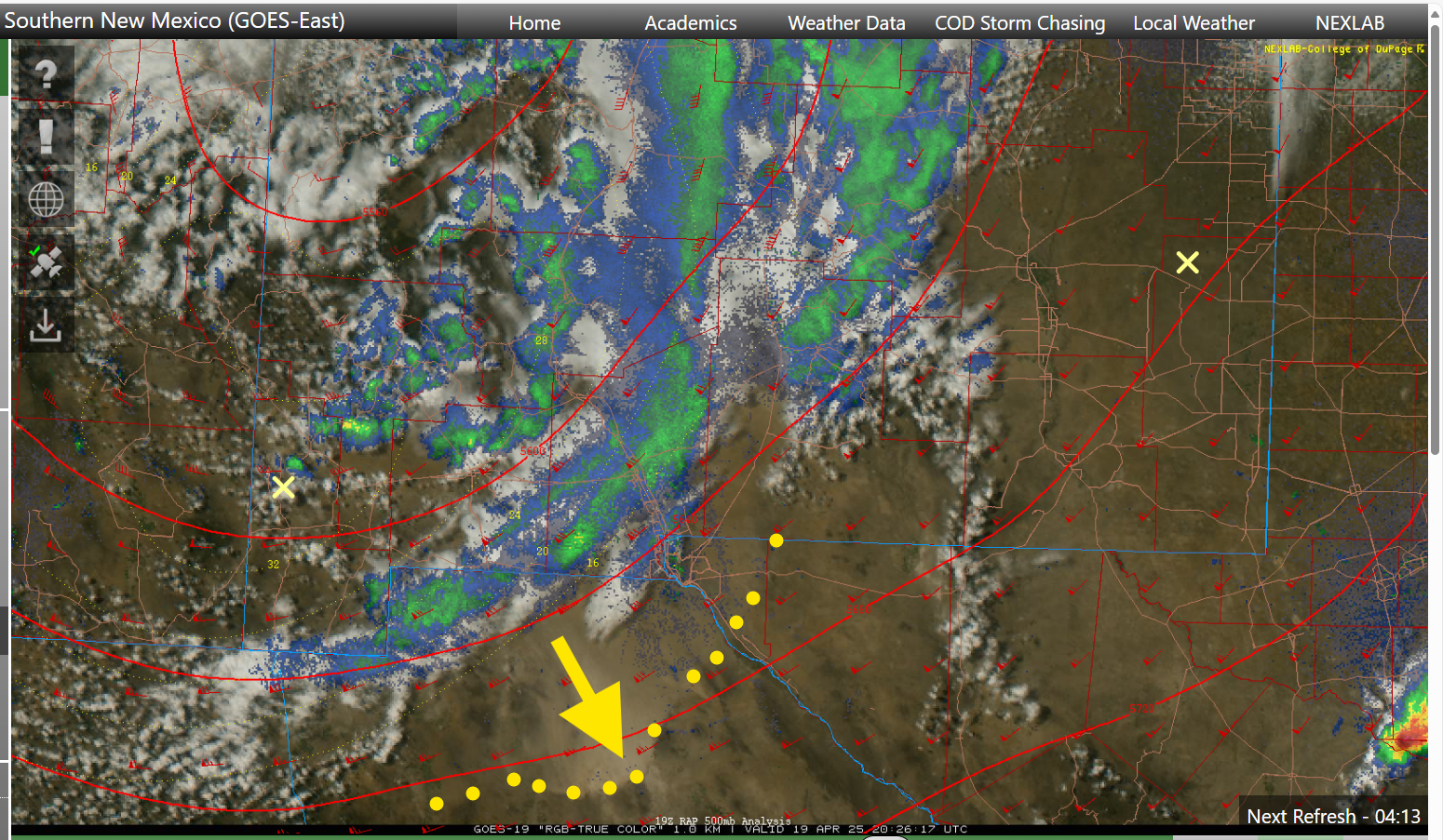
This weather satellite loop shows us a variety of activity:
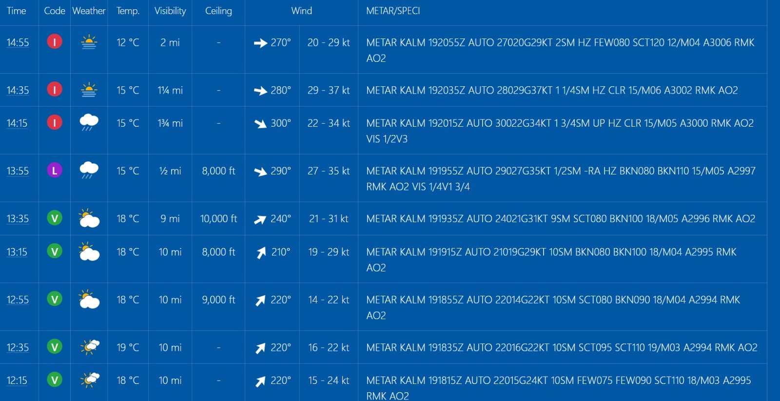
- overall west-to-east flow of dry air in the western half of New Mexico. This dry air is not very dusty, at least not initially.
- moist air over the eastern half, which tends to be hazier. This haziness is seen best near the end of the loop when the sun angle gets low.
- strong thunderstorms developing along the dry line
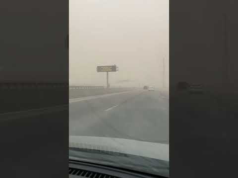
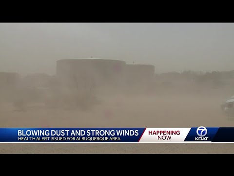
- outflows and gust fronts from the storms raising dust and pushing it east against the flow of the dry air
- strong breezes in northeast Sonora, Mexico boost fire activity. The bluish smoke plume becomes visible near the end of the loop. The strong breezes also pick up dust at the end of the loop...colored tan/brown
- the moist air can't push further west because the terrain gets higher.
This is a follow up to an earlier post/toot about the Dry Line weather system:
https://universeodon.com/@KrajciTom/114406001338553756